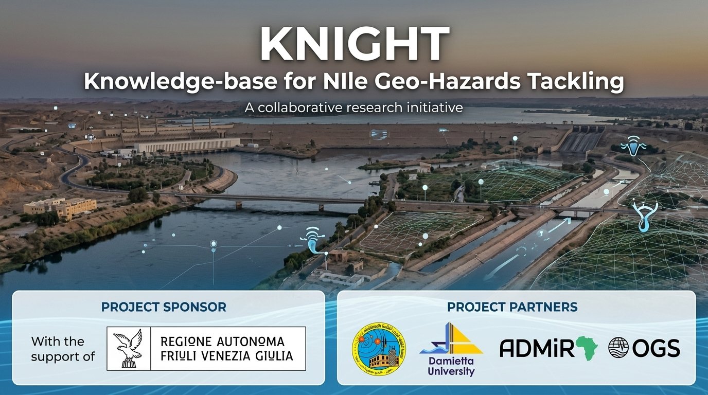
KNIGHT (Knowledge-base for NIle Geo-Hazards Tackling) is an Italy–Egypt cooperation project, “Strengthening resilience to geo-hazards and climate challenges along the Nile corridor,” coordinated by Italy's National Institute of Oceanography and Applied Geophysics (OGS) in partnership with NRIAG/ADMiR, Damietta University, the Department of Engineering and Architecture (DIA) of the University of Trieste, Shoreline soc.coop., and the Municipality of Lignano Sabbiadoro. The project runs for 24 months, starting January 2025.
KNIGHT builds an integrated data and knowledge framework to monitor and assess, in an integrated way, the geological, environmental and climate-change hazards at key sites along the Nile — from the Aswan Dam to the coastal areas of the Nile Delta — covering the governorates of Damietta, Alexandria, Cairo and Aswan. These sites face a range of hazards including earthquakes, tsunamis, seismically-induced rockfalls, submarine landslides, land subsidence, sea-level rise, and multi-hazard impacts on biodiversity in wetlands and lagoons, with the Nile Delta coastal area particularly exposed to cascading hazards from both sea and land.
Approach
The project assembles a comprehensive inventory of geological, seismological, geodetic, marine and environmental data, together with exposure and vulnerability models, existing tools and best practices, to establish multi-hazard scenarios and guidelines. Data are managed through a geographic information system (GIS), enabling integrated hazard and risk scenarios via geophysical models run on HPC infrastructure. Field activities focus on the Damietta area, including seismic risk assessment for selected buildings, multi-hazard and cascading-effects analysis (tsunamis, seismically induced landslides), and evaluation of multi-hazard impacts on biodiversity and possible protected areas. The project also delivers training, capacity-building and citizen-science activities for local stakeholders, engineers and planners, and drafts guidelines for mitigating natural and anthropogenic hazards along the Nile and its delta.
Partners & contributions
- NRIAG / ADMiR (Egypt) — collection and review of geo-hazard and emergency-plan materials; sea-level and air-quality monitoring via tide gauges, satellite altimetry and air-quality stations; seismic and crustal-deformation monitoring through an extensive sensor network including low-cost strong-motion sensors; preparation of local structural models for ground-shaking modelling and seismic microzoning at Aswan, Cairo and Damietta; collaboration on multi-hazard scenario simulation and training activities in Egypt, including an Advanced Training School for Engineers and Stakeholders. Prof. Mohamed ElGabry is the NRIAG contact for the project.
- Damietta University (Egypt) — student deployment of low-cost sensors for meteorological and air-quality monitoring; research, monitoring and training on climate resilience and ecological-hazard assessment; local community awareness campaigns and citizen-science initiatives; collaboration on low-cost hazard-monitoring technologies.
- DIA – University of Trieste (Italy) — refinement of exposure and vulnerability models for Aswan, Cairo and Damietta; structural characterization and detailed vulnerability assessment of selected buildings; seismic microzonation and seismic-risk analysis; training activities in Egypt and Italy; project workshop organization.
- Shoreline (Italy) — data sharing for characterizing coastal natural hazards; support for multi-hazard biodiversity assessment and possible protected-area implementation; capacity-building on biological hazards; dissemination activities.
- Municipality of Lignano Sabbiadoro (Italy) — data and computational resources for coastal hazard characterization tools; collaboration on capacity-building, citizen science, and dissemination.
Related ADMiR deliverable
As part of NRIAG/ADMiR's contribution to KNIGHT's wetland and lagoon multi-hazard monitoring, ADMiR has developed Knight — Northern Lakes Observatory, a satellite-based dashboard monitoring Egypt's northern coastal lakes, starting with Lake Manzala in the Damietta area.
Contact
NRIAG contact: Prof. Mohamed ElGabry (elgabry@nriag.sci.eg), African Disaster Mitigation Research Center (ADMiR).