Fostering innovation for disaster risk reduction in Africa
The African Disaster Mitigation Research Center (ADMiR) is a Center of Excellence of the African Union – African Scientific Research and Innovation Council (AU-ASRIC), hosted by the National Research Institute of Astronomy and Geophysics (NRIAG) in Cairo, Egypt. ADMiR was established to meet the urgent need for science-based solutions to the complex challenges that disasters pose across the African continent.

Our vision is to be a leading institution in disaster mitigation research and innovation, recognized globally for our contributions to reducing disaster risks and enhancing resilience in Africa. We envision a continent where communities are well-prepared and equipped to face and recover from disasters, supported by cutting-edge research, advanced technologies and strong collaborative networks.

Our mission is to enhance the resilience of African communities by advancing scientific research, innovation and collaboration in disaster risk reduction. We develop and apply strategies and solutions that mitigate the impacts of natural and human-made disasters, supporting sustainable development and protecting lives and livelihoods across the continent.
Research and innovation areas
ADMiR brings together geophysics, space technology and data science to understand hazards and reduce their impact.
Disaster risk reduction research
Science-based assessment of natural and human-made hazards to inform prevention, preparedness and resilient development across Africa.
Seismology & geo-hazards
Earthquake and geo-hazard research building on NRIAG’s long experience in seismology and geophysics.
Satellite remote sensing
Earth observation of water, floods, coasts and land change — including the Hapi and Knight observatories.
Hyperspectral imaging
Spectral analysis of rocks, soils and water for geological, environmental and hazard applications.
AI & GeoAI
Machine learning for multi-hazard modelling, mapping and faster, more reliable early warning.
Low-cost IoT sensing
Affordable sensor networks that extend monitoring to communities and sites without costly infrastructure.
Learn the tools. Understand the risk. Shape the future.
Free, open courses in disaster risk reduction, remote sensing, GIS, decision making and responsible AI — open to everyone, at your own pace.
Partners and supporters
Research partners, funders and networks behind ADMiR’s programmes, projects and training.
 African Scientific Research and Innovation Council (AU-ASRIC)
 National Research Institute of Astronomy and Geophysics
 Academy of Scientific Research and Technology
 Arab Research & Innovation Co-Funded Alliances
 National Institute of Oceanography and Applied Geophysics (Italy)
 Autonomous Region of Friuli Venezia Giulia
 Damietta UniversityUniTSUniversity of TriesteUMPMohamed I University (Morocco)SQUSultan Qaboos University (Oman)
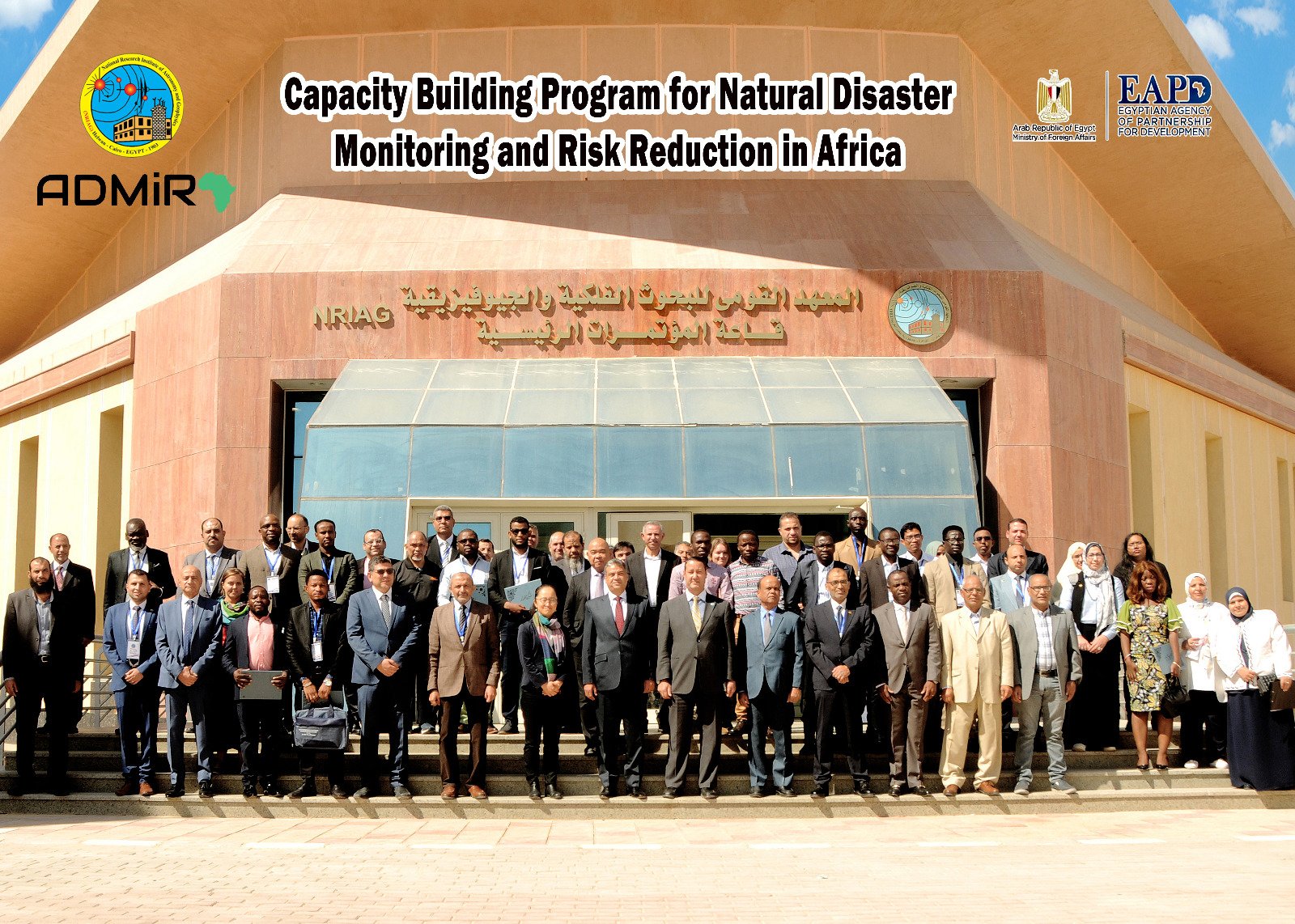
Hands-on training for African researchers and practitioners in hazard monitoring, data analysis and disaster risk reduction — from the capacity-building programme in Cairo to free online courses on ADMiR Learning.

An open, satellite-driven observatory monitoring water storage, flood extent, water quality and climate across Africa’s great river basins — supporting climate adaptation, early warning and disaster risk reduction.

Free, self-paced learning platform in disaster risk reduction, remote sensing, GIS, decision making and responsible AI — open to everyone, in English and Arabic.
It is a well-known fact that staying updated on scientific advancements is crucial. Our upcoming conferences are meticulously planned to foster knowledge exchange and collaboration. Don’t miss the opportunity to connect with experts and stay ahead in your field. Mark your calendar for these exciting events!